1 ITEMView cart
-
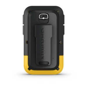
Garmin Etrex 10 Worldwide 1 × AED 512.00

Your order qualifies for free shipping!
Subtotal: AED 512.00

Subtotal: AED 512.00

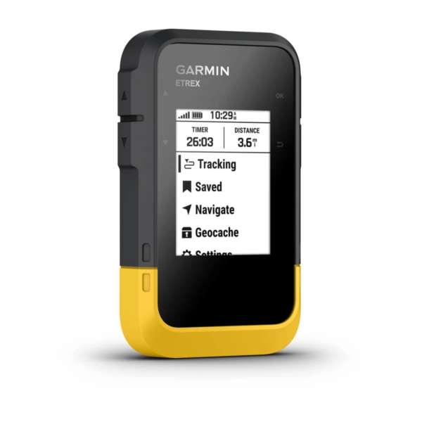
Adventure easily with this simple-to-use GPS handheld with extra battery life, wireless connectivity and multi-GNSS support — so you can enjoy exploring more.

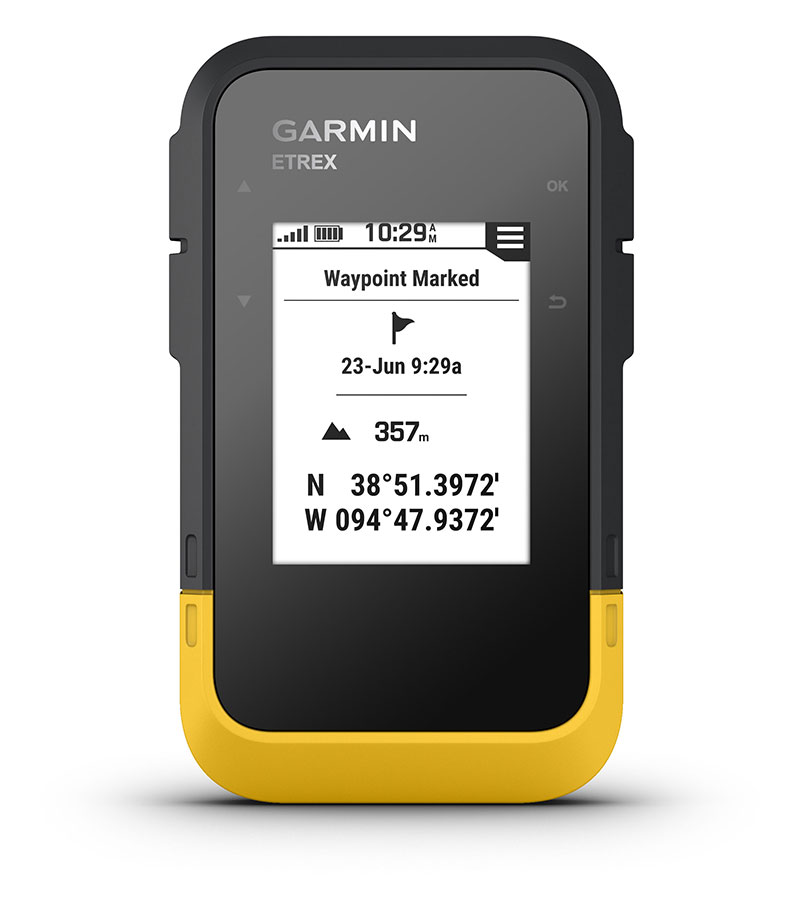
Bright sunlight is no problem with the high-resolution 2.2” screen.

Head out more often with up to 168 hours of battery life.

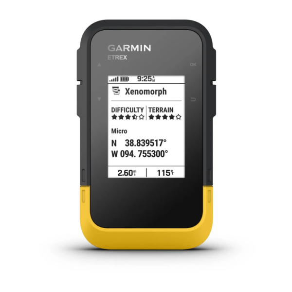
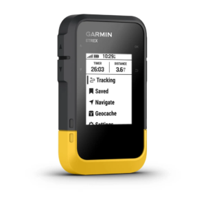
Into geocaching? Get automatic updates from Geocaching Live to find your next cache.

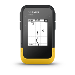
Plan trips and more when you pair with the Garmin Explore™ smart-device app.

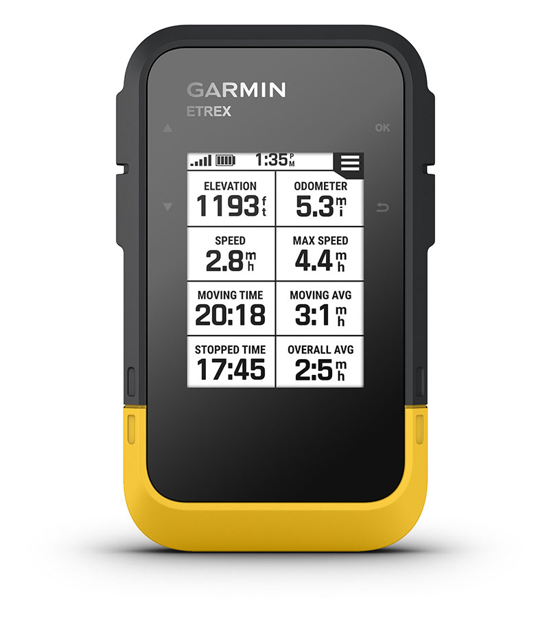
Need accurate tracking? You got it, even in challenging environments with multi-GNSS support.

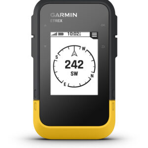
Keep your bearings with the digital compass so you’re always on course.

Access multiple global navigation satellite systems (GPS, GLONASS, Galileo, BeiDou and QZSS) to track in more challenging environments than GPS alone.
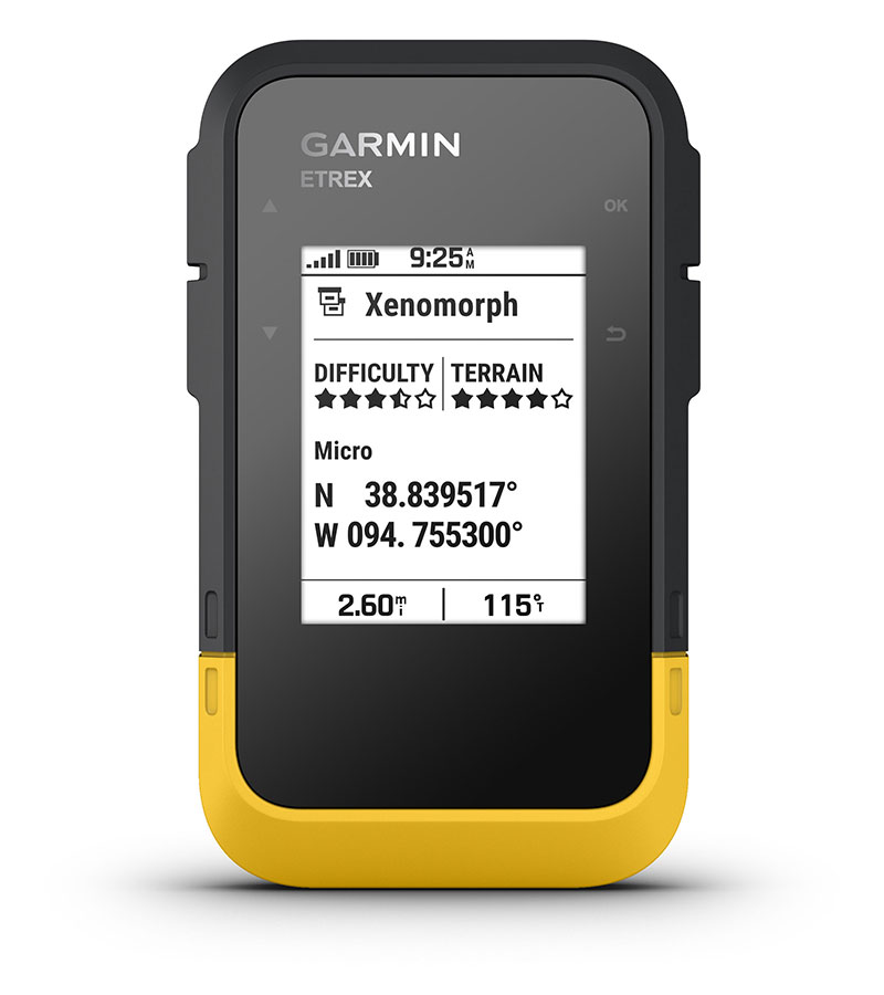
Get automatic cache updates from Geocaching Live, including descriptions, logs and hints. When connected to the Garmin Explore app, each find will upload to your Geocaching.com profile.
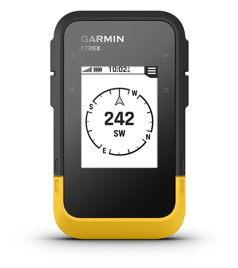
Follow your bearing on the digital compass, which provides an accurate heading even when stationary.
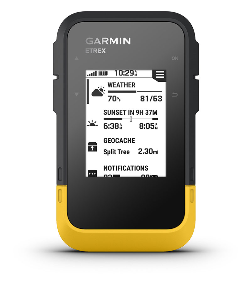
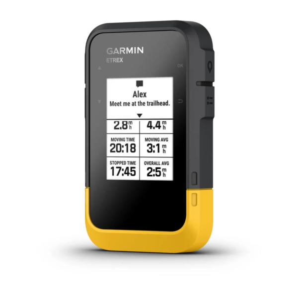
When connected to the Garmin Explore app, you can get real-time forecast information, so you’re aware of the changing conditions.
Connect with the Garmin Explore app for wireless software updates, cloud storage, trip planning, smart notifications and additional mapping.
Get long battery life of up to 168 hours in standard mode and up to 1,800 hours in expedition mode with 2 field-replaceable AA batteries (not included).

The Bluetooth word mark and logos are registered trademarks owned by Bluetooth SIG, Inc. and any use of such marks by Garmin is under license.
General |
|
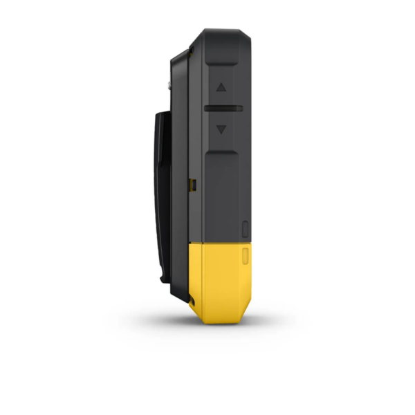
| DIMENSION | 6.1 x 10.0 x 3.3 cm (2.4″ x 4.0″ x 1.3″) |
|---|---|
| DISPLAY SIZE | 1.3″ x 1.7″ (3.3 cm x 4.4 cm); 2.16″ diag (5.5 cm) |
| DISPLAY RESOLUTION | 240 x 320 pixels |
| DISPLAY TYPE | 2.2″ transflective, monochrome |
| WEIGHT | 156.5 g with batteries |
| WATER RATING | IPX7 |
| BATTERY TYPE | 2 AA batteries (not included) |
| BATTERY LIFE | 168 hours in standard mode; 1,800 hours in expedition mode |
| INTERFACE | USB-C |
| MEMORY/HISTORY | 28 MB |
Maps & memory |
|
| BASEMAP | Yes (cities only) |
|---|---|
| WAYPOINTS/FAVOURITES/LOCATIONS | 1,000 |
| COURSES | 50 |
| TRACKS | |
| ACTIVITIES | 200 |
| NAVIGATION ROUTES | |
Sensors |
|
| HIGH-SENSITIVITY RECEIVER | |
|---|---|
| GPS | |
| GLONASS | |
| GALILEO | |
| QZSS | |
| BEIDOU | |
| COMPASS | |
| GPS COMPASS (WHILE MOVING) | |
Daily smart features |
|
| SMART NOTIFICATIONS ON HANDHELD | |
|---|---|
| WEATHER | |
Outdoor recreation |
|
| POINT-TO-POINT NAVIGATION | |
|---|---|
| TRACBACK® | |
| AREA CALCULATION | |
| SUN AND MOON INFORMATION | |
| GEOCACHING-FRIENDLY | Yes (Geocache Live) |
Connections |
|
| CONNECTIONS WIRELESS CONNECTIVITY | Yes (Bluetooth®) |
|---|---|
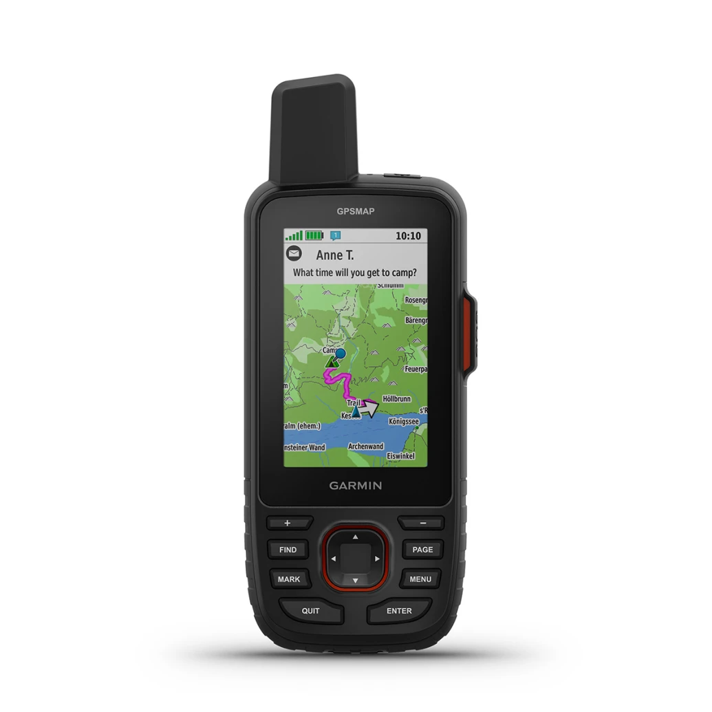
Handheld GPS with in Reach® Satellite Technology
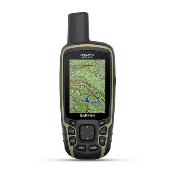
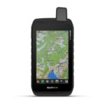
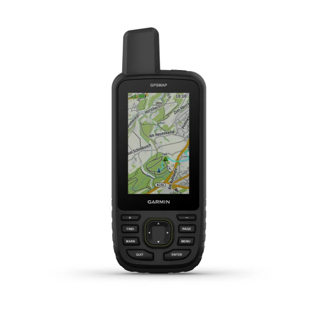
Multi-band/multi-GNSS handheld
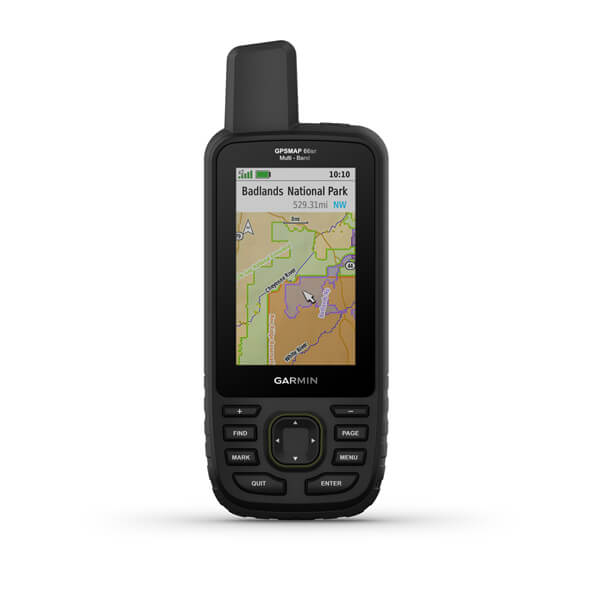
Multi-band/GNSS handheld with sensors and Topo Active Europe maps
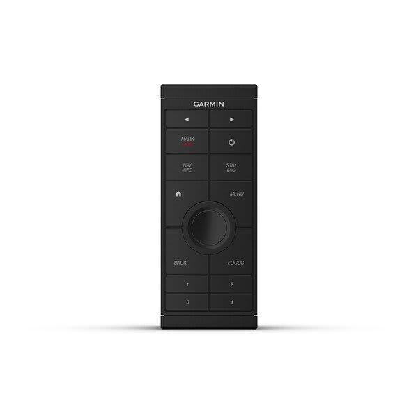
Sit back and take control Provides intuitive, easy-to-use remote access and control of your entire Garmin...
Handheld GPS
Handheld GPS with in Reach® Satellite Technology
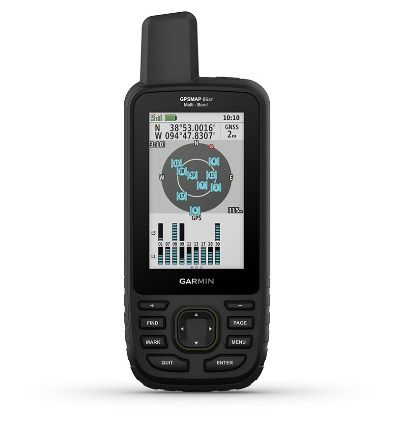
Multi-band/multi-GNSS handheld
Multi-band/GNSS handheld with sensors and Topo Active Europe maps
Sit back and take control Provides intuitive, easy-to-use remote access and control of your entire Garmin...
Handheld GPS
Handheld GPS with in Reach® Satellite Technology
Multi-band/multi-GNSS handheld
Multi-band/GNSS handheld with sensors and Topo Active Europe maps